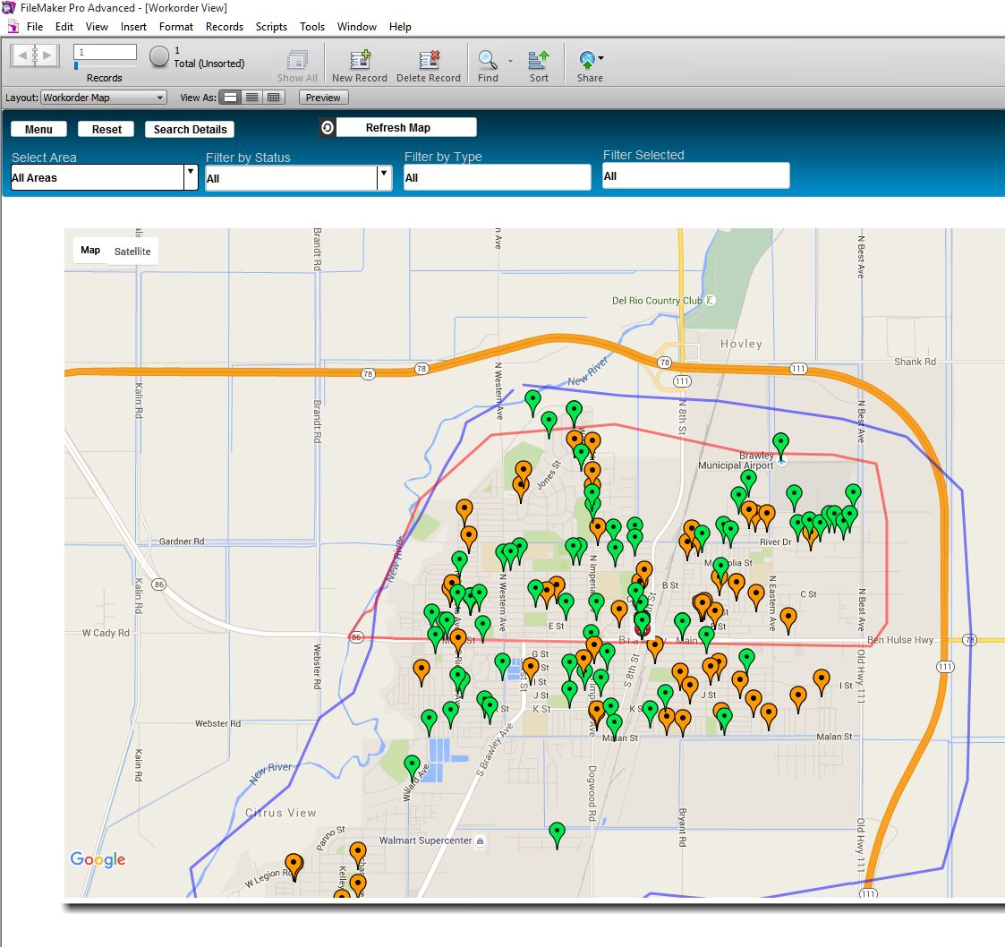
New mapping applications have been integrated into
Public Works Manager. For those looking for the simplicity and economy of Google Maps, you can now map your
workorders on google maps using multicolored
pins, each color representing a department. When you click on any of these pins you get information about that
workorder and you can then click directly to that
workorder to edit it.
Here is screen shot of the new application.
A new video demonstrates this application and the new interface which is available to ArcGIS.
The company plans to continue developing ArcGIS interfaces to include interaction with our public works dispatching service.
View our
on line video demo of our mapping applications.

No comments:
Post a Comment
Please add your comments.